Mo'i Kakali
Master Member
 [M:0]
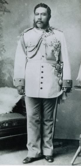
His Majesty, King Kakali I of the House of Anakelikonu
[M:0]
His Majesty, King Kakali I of the House of Anakelikonu
Posts: 734 
|
Post by Mo'i Kakali on Jul 16, 2007 14:58:22 GMT -5
This is where all the old maps from the IRE are stored.
|
|
Mo'i Kakali
Master Member
[M:0]
His Majesty, King Kakali I of the House of Anakelikonu
Posts: 734
|
Post by Mo'i Kakali on Jul 16, 2007 16:44:02 GMT -5
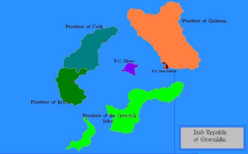 Original map of Emeraldia. 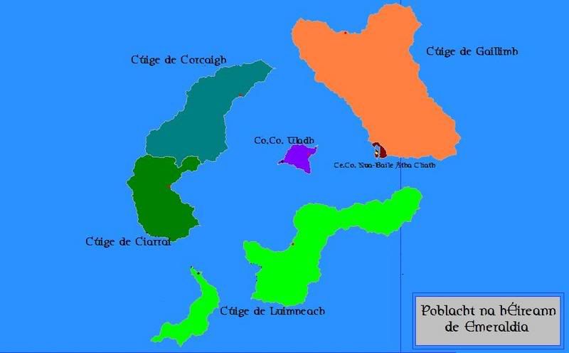 Original map of Emeraldia in Gaelic 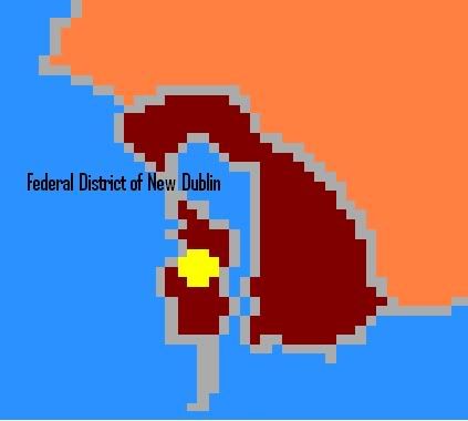 Map of the Federal District of New Dublin, the National Capital 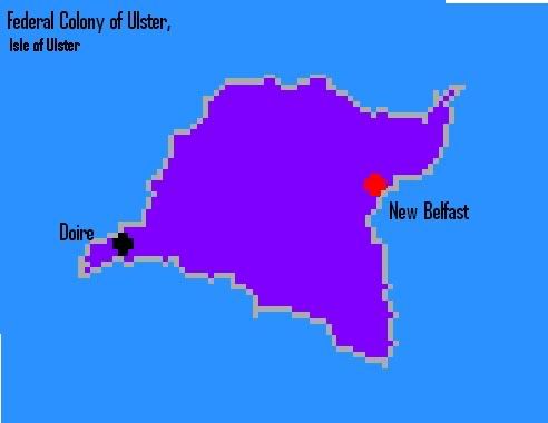 Map of the Province of Ulster, originally the Federal Colony of Ulster, which gained it's Provinceship in March of 2007 with the passing of the new constitution 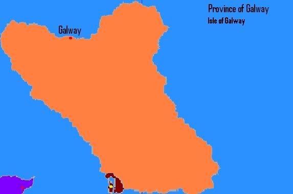 Map of the Province of Galway 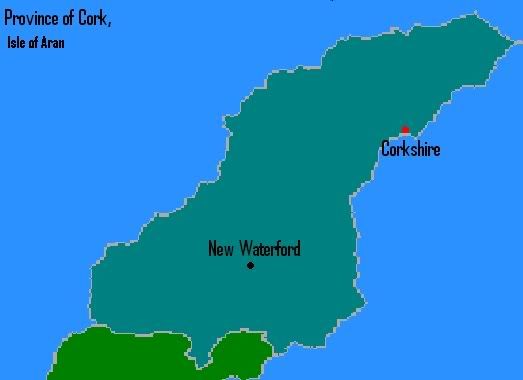 Map of the Province of Cork 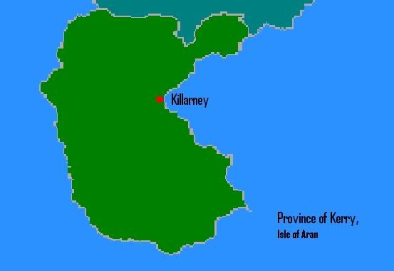 Map of the Province of Kerry 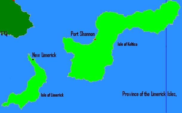 Map of the Province of Limerick |
|
Mo'i Kakali
Master Member
[M:0]
His Majesty, King Kakali I of the House of Anakelikonu
Posts: 734
|
Post by Mo'i Kakali on Jul 16, 2007 16:50:03 GMT -5
Here are the Highway/ Railway Maps of each of Emeraldia 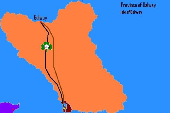 Province of Galway 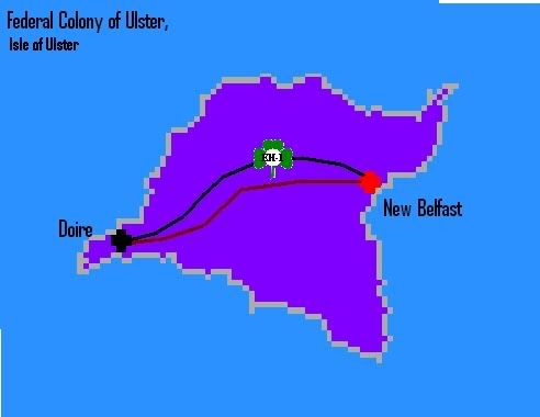 Province of Ulster 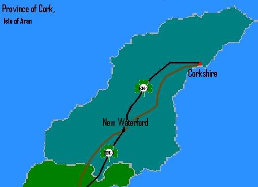 Province of Cork 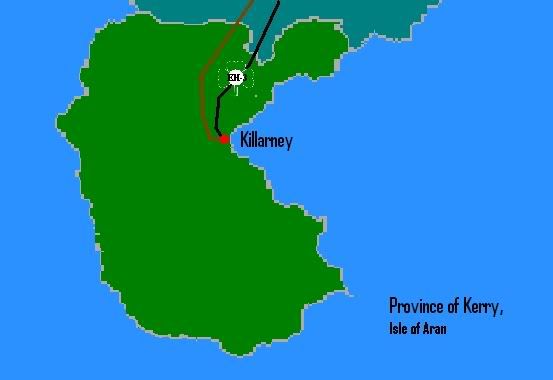 Province of Kerry |
|
Mo'i Kakali
Master Member
[M:0]
His Majesty, King Kakali I of the House of Anakelikonu
Posts: 734
|
Post by Mo'i Kakali on Jul 16, 2007 16:58:56 GMT -5
Here are all the map's pertaining to the Exploration of the Lost City of Smairgaid and the Expedition to St. Patrick. 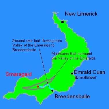 Map of the Lost City of Smairgaid 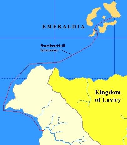 Map showing the planned route of the IES Carolus Linnaeus Expedition 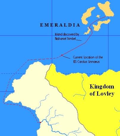 1st Progress Map for the Linnaeus Expedition  2nd Progress Map for the Linnaeus Expedition 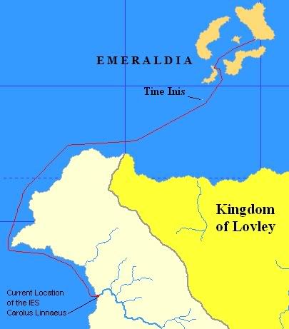 Final Progress Map for the Linnaeus Expedition 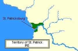 Map of the city of St. Patricksburg, and the surrounding colony of St. Patrick. |
|
Mo'i Kakali
Master Member
[M:0]
His Majesty, King Kakali I of the House of Anakelikonu
Posts: 734
|
Post by Mo'i Kakali on Jul 16, 2007 17:00:33 GMT -5
 Land Registry map produced by the Department of the Interior, which showed land ownership throughout Emeraldia. |
|